
Marine Explorations- Ashdod
Description
Photographs from a project to map the ancient harbor at Ashdod, Israel, in 1967, ahead of development of the modern port. The expedition found stone walls, which may have been sea walls, and stone anchors.
Expedition members included archaeologists Peter Throckmorton and Elisha Linder, as well as MIT professor Harold “Doc” Edgerton and Martin Klein, who were developed the sub-bottom profilers used to map the site.
The search pattern was mapped using theodolites ashore, and the triangulated course was then reconciled with data gathered from the sonar sub-bottom profilers and divers.
Folder contents:
"Sonar Search at Ashdod, Israel," by H. Edgerton, Elisha Linder, & M. Klein, National Geographic Society Research Reports, 1967 Projects, 1974 (2 copies);
3 negatives;
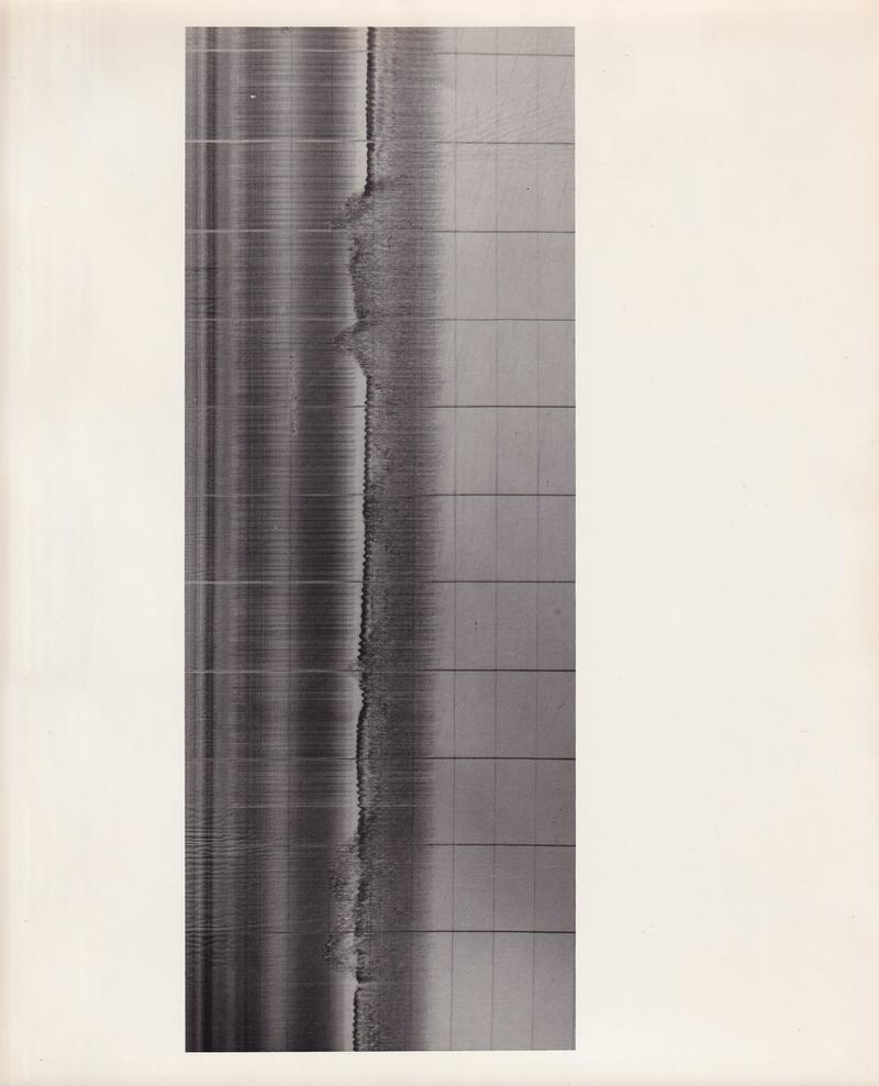
Sub-bottom Profiler image, Ashdod 30 Nov 1967 (7 copies); Sonograph, unlabeled (2 copies);
Ashdod Excavation Project Marine Survey - Sonar Lanes;
Ashdod Excavation Project Marine Survey - Finds by Sonar and Divers;
General Plan, Ashdod Excavation Project Marine Survey;
Ashdod Excavation Project Marine Survey Method of Survey;
Expedition crew including Elisha Linder, Joan Throckmorton, Peter Throckmorton, and Martin Klein;
Crew Member with Salvage Master underwater camera;
Expedition crew, including Dr. Harold "Doc" Edgerton and Admiral Yohai Ben-Nun;
Diver Photo;
Crew Member and Metal Detector;
Pottery Fragment with Handle Photo;
Small Stone Anchor Photo (2 copies);
Large Stone Anchor Photo (2 copies)