
San Judas, Nicaragua Centro District Planning drawings
2009.028.107.folder.1

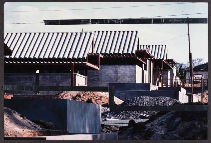
"Following the earthquake of 1972 that destroyed much of Nicaragua's capital, reconstruction was planned around district centers that would serve as nuclei for future development. The centers were to provide local markets, community services and primary schools. The San Judas District Center is located on a 42,300 m^2 site with a consistent 5% north-to-south slope. It was designed to serve a low-income population of 25,000 at the inceptions, with up to 75,000 mixed-income population. The urban design guidelines proposed a formal organization and an architectural vocabulary that could accommodate the wide variety of uses that inhabit the ordinary buildings. The sought to allow individual buildings by various architects to remain a part of a larger order established by a set of design "rules" that were at once general and quite specific." From "Imre Halasz, Anthony Halasz", by Gaspar and Timon, 2002.
2009.028.107.folder.1
2009.028.Box03.044
2009.028.Box05.004