
Janssonio-Waesbergios et Mosem Pitt
Publisher

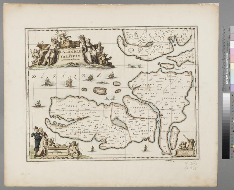
Hand-colored map of Lolland and Falster, Denmark from The English Atlas (1680) by Moses Pitt. The map is decorated with ships, sea monsters, and three highly decorated cartouches. The cartouches are surrounded by putti, livestock, and everyday dutchmen and women.
Publisher
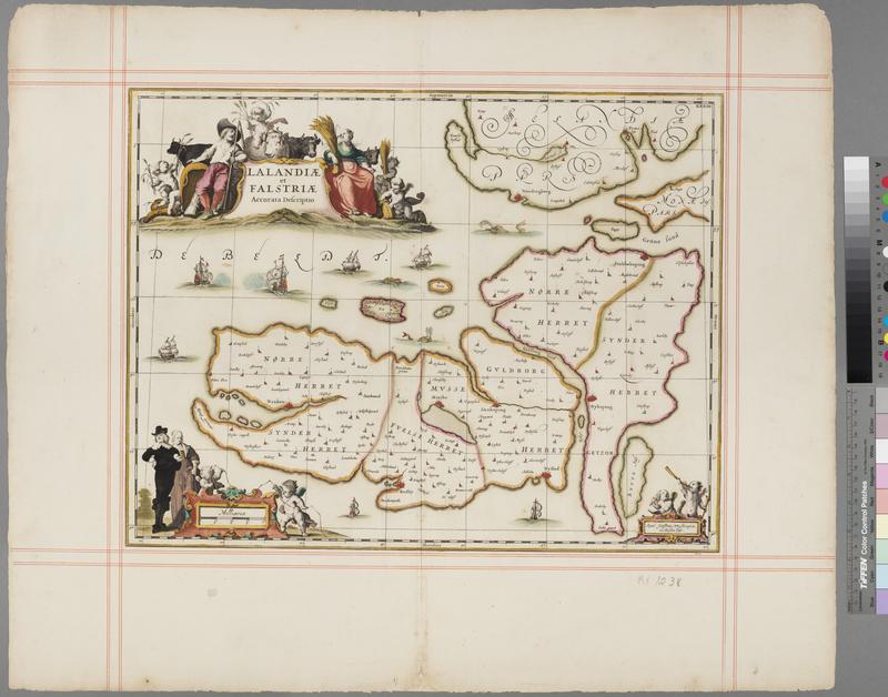
Same with different marks - AF-MX-1238